Benin
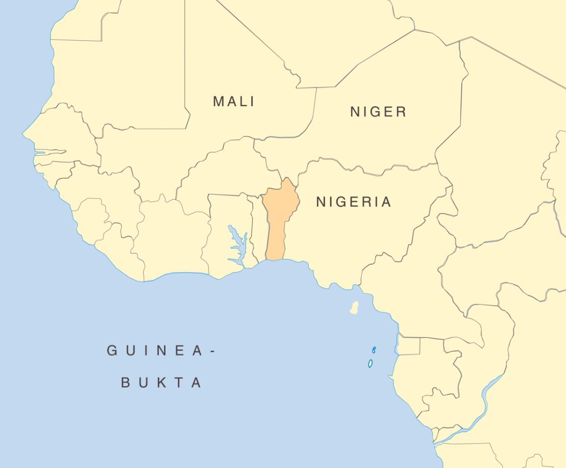
Benin, Republic of the Gulf of Guinea in West Africa. Adjacent to Nigeria in the east, Niger and Burkina Faso in the north and Togo in the west.
Benin has been an independent nation since 1960. The country is one of Africa’s smallest states, with an estimated population of 10 million in 2011.
Benin is considered a relatively well-functioning democracy in an otherwise unstable region. Since the peaceful dissolution of the Marxist-Leninist regime to Mathieu Kérékou in 1989, the country has had four conflict-free power transfers.
Benin is ethnically, linguistically and religiously very composed. The country’s history is characterized by kingdoms, alternating colonial lands and an extensive slave trade between them. Ancestral worship and the traditional religion of voudon are still practiced by many. With this slave trade, this religion was exported to Haiti and Brazil, among others, where local adaptations are often called voodoo. The country does not have a traditional writing language, but the king’s history and a rich saying tradition has throughout the years been documented in pictures applied to fabric.
The country was named Dahomey in 1975. The Republic of Benin must not be confused with the historic Benin that lay in present-day Nigeria. Benin City is today the capital of the state of Edu in southern Nigeria.
Geography and environment
Benin is located between latitudes 6 ° 30 north to 12 ° 30 north, and longitudes 1 ° east to 3 ° 40 east.
The country has a coastline of about 120 kilometers, which meets Togo in the west and Nigeria in the east. The country stretches 700 kilometers to the north where it meets Burkina Faso in the northwest and is bounded by the Niger River towards Niger in the northeast. The total land area is 112,622 square kilometers, a little less than a third of Norway and the size of Bulgaria.
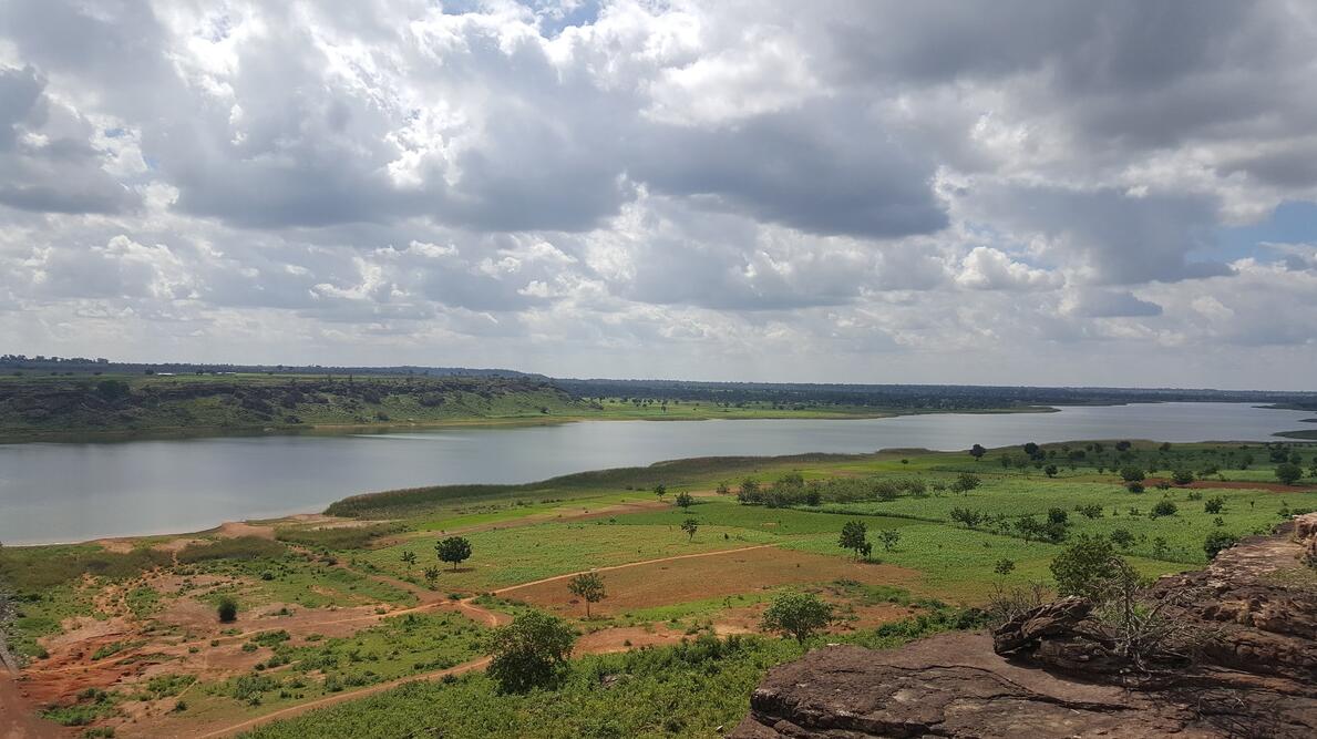
Benin is relatively flat. The highest point is Mont Sokbaro, at 658 meters above sea level. which is located in the Atacora region, north-west of the country towards the border with Togo.
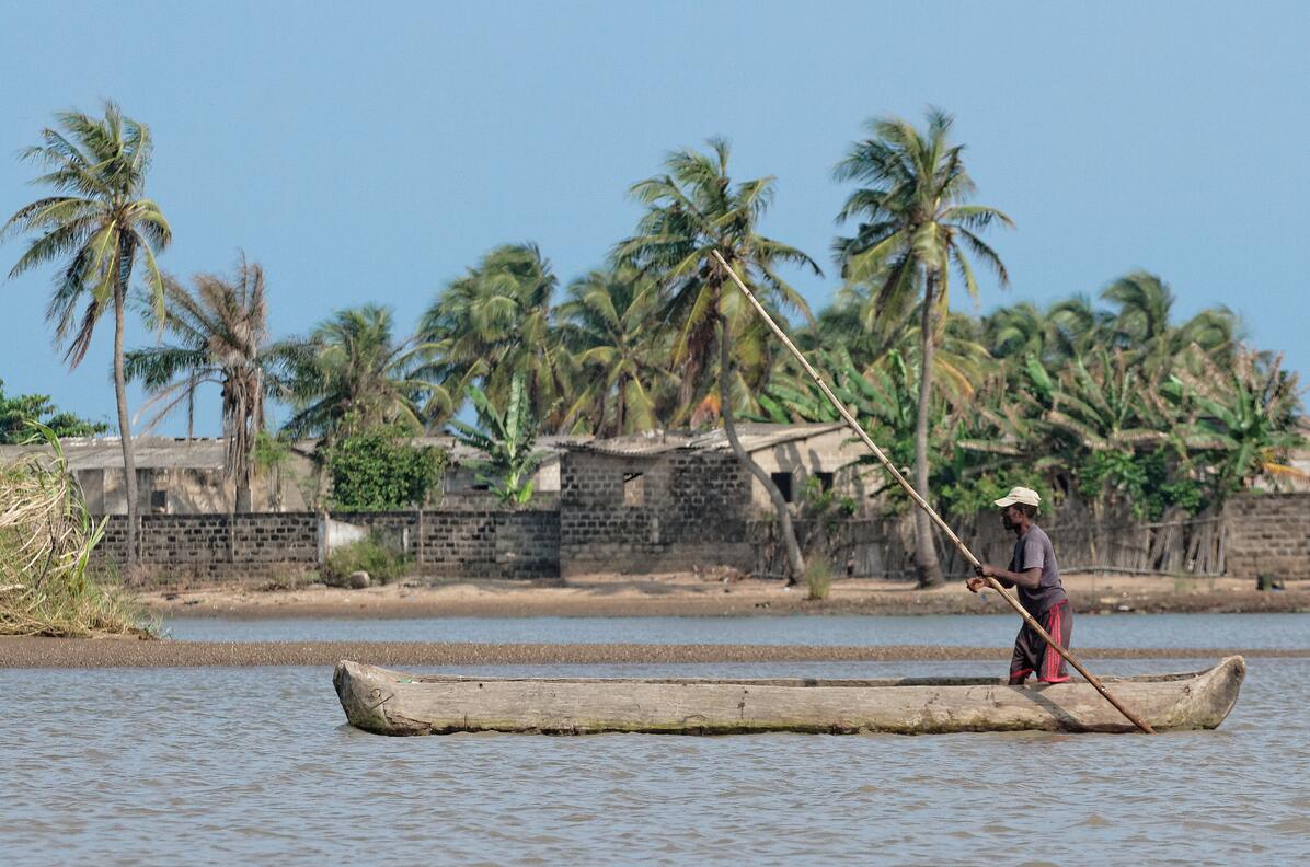
Paddles on the coastline of the Mono River southwest of the country, at the border with Togo in the west. The coastline of Benin is about 120 kilometers.
Benin is a hot country, and temperatures in the south rarely fall below 24 degrees. The coldest time of the year is July, August and early September. Most of the year the temperature is often above 30 degrees. The high humidity in the south enhances the experience of tropical heat. Further north in the country the climate is much drier, but the temperatures are also higher.
People and society
In 2011, Benin’s population was estimated at 10 million. Benin’s political-administrative capital is called Porto Novo and is located on the coast near the Nigerian border. The largest city is Cotonou, which is also considered the commercial capital. Cotonou is an hour’s drive west of Porto Novo, and has per day (2014) probably more than 1 million inhabitants.
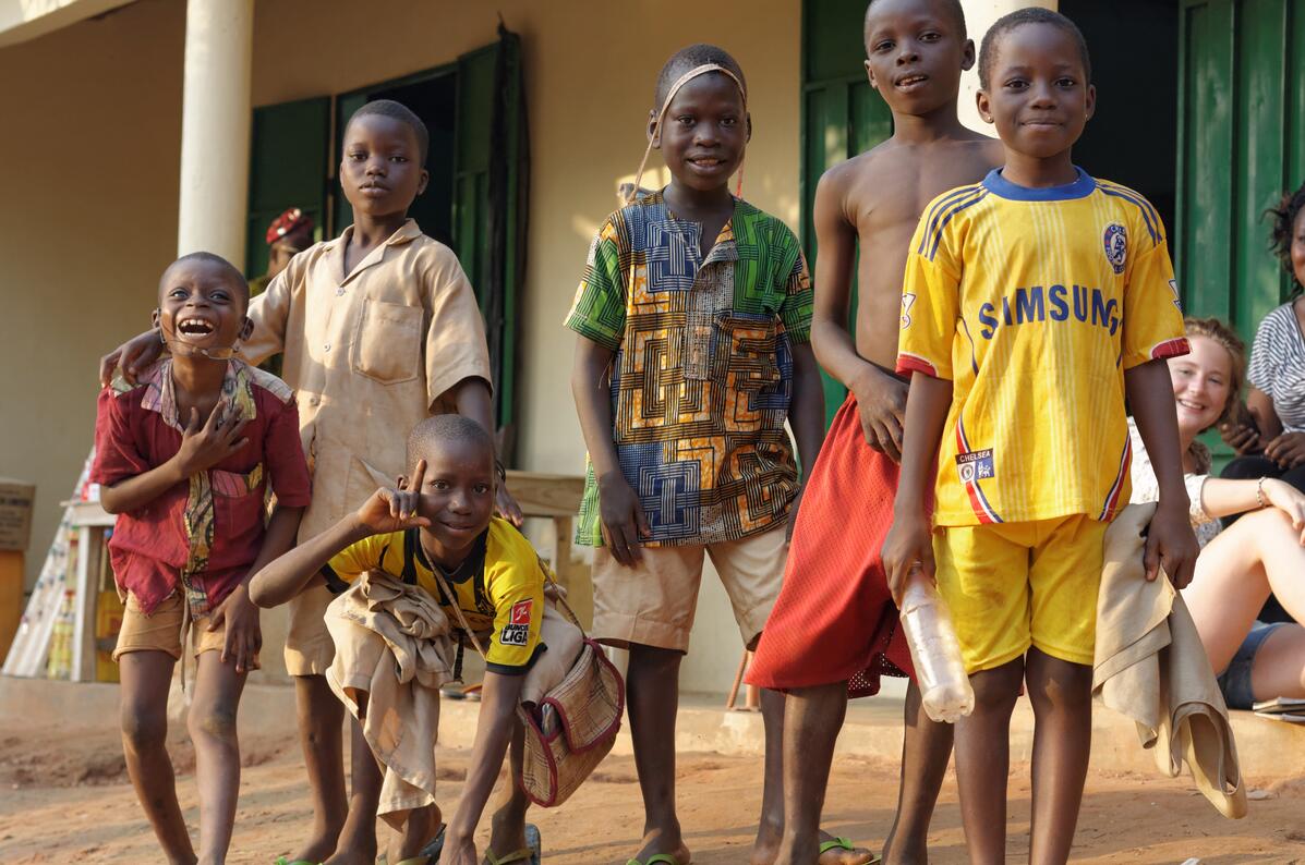
School attendance in Benin has increased significantly over the last ten years. In 2015, 78% of children completed primary school in a normal time.
The official language is French, but the main local language is fon (gbe), and is spoken by the people group fon. Adja is the second largest language, and the adja people group is related to fon. Yoruba is spoken in the southeast and mine in the west. In the north, dendi, which has many species and a distinctive singing greeting, dominates. The partially nomadic Fulpani (alpular) speak Fulani, and there are in addition a number of other languages such as yom / lopka, bariba and dittamari.
There is a great religious diversity in Benin. Voudon is the traditional religion, and is still stated as the most important religion by about one fifth of the population. Catholicism is on the rise, and Africa’s largest Catholic seminary is located at the Ouidah Cathedral, strategically located across the street from the city’s Voudon Python Temple. The Pentecostals are active, and there is a distinct Beninese Christian direction called the Celestial Church. Celestines are well visible in their distinctive white dresses and headgear, and one often sees groups of white-clad Celestinians performing religious purification ceremonies on the beaches. In eastern, central and especially northern parts of the country, Islam is practiced. There is harmony and mutual respect between the religious groups in the country.
Benin’s population is very poor. Nearly half live below the international poverty line of $ 1.25 a day (PPP), while UNDP estimates that a further 13 percent is at risk of falling below this poverty line.
Benin has a very low score on the UNDP’s Human Development Index (number 166 of 186 countries), and falls even further when this index is adjusted for internal inequalities. The country is relatively even lower on the index for equality, with a 135 place out of a total of 148 countries. Benin is ranked 20 out of 195 in Unicef’s ranking of countries with high child mortality. Forty-two percent of the adult population can read and write.
State and politics
Benin is divided into 12 administrative regions. Each region is divided into between 4 and 10 communes, with the exception of Littoral, which only includes Cotonou town. The municipalities are again divided into “district districts”, smaller geographical areas that are often centered around one or more smaller villages.
Benin is a member of The UN and most of the UN’s special organizations, including World Bank and World Trade Organization; African Union (AU), ECOWAS (Economic Community of the West African States) and the Cotonou Agreement.
Economy and business
The economy of Benin is underdeveloped. Agriculture contributes to 1/3 of GDP and employs 70 percent of the workforce. Main export goods are cotton, and main trading partner Nigeria. The country is therefore particularly vulnerable to fluctuations in the international fiber markets and to internal economic shifts in Nigeria. Benin’s development is hampered by corruption and nepotism.
Nearly half of all Benin families live in poverty. The country’s GNI per capita is about 3/4 of the average for sub- Saharan Africa.
Benin and Norway
Norway’s involvement in Benin has been and is still very limited.
It is often told locally that there has been a Danish-Norwegian slave fort in the city of Ouidah, south-west of Benin. Recent research has not been able to confirm this, and it is believed that the claim is due to a translation error in older documents. However, there is some documentation of trading activity between Benin and Denmark-Norway in the 18th century. A Danish-Norwegian ship docked in the city in 1784-5, but it must have been at the British fort, and not at a separate Danish trading station. There are also other Danish merchant notes describing the cost of slave purchases from Ouidah (historically “Whydah”) during this period.
In the early 1980s, the Norwegian oil company Saga was an operator for sample drilling on the Sémé field off the coast of Benin. The project was unsuccessful and left Benin with a national debt to Norway of NOK 650 million. Norway was regarded by environmental and debt relief activists as morally responsible for both the debt and environmental problems associated with the rusting oil installations, which were left behind by Saga in 1985. Benin’s residual debt to Norway of NOK 233 million was deleted in 2003 by the government of Bondevik.
In 2013, Shell Norway became involved in new trial drilling projects on block 4 outside Benin, this time led by the Brazilian company Petrobras. The project is protected by local warships due to the growing piracy in the Gulf of Guinea.
The former Norwegian-Swedish-owned company Scancem International is part owner of the local cement company Cimbenin in Cotonou.
Norway does not have an embassy in Benin, but Benin is covered by the Norwegian embassy in Abuja, Nigeria, as well as the Consulate General in Cotonou. Consular relations with Benin go through the Benin embassy in Copenhagen, or the Norwegian consul in Oslo.